
Subsurface Utility Mapping Solutions
4M Analytics' unique technology provides a subsurface utility map with a complete, accurate, and up-to-date…
At a glance
Subsurface Utility Mapping Solutions is a data & analytics tool: 4M Analytics' unique technology provides a subsurface utility map with a complete, accurate, and up-to-date….
- Pricing: Unknown
- Category: Data & Analytics
- API: no
- Open source: no
- Status: Online · last verified
- Page updated:
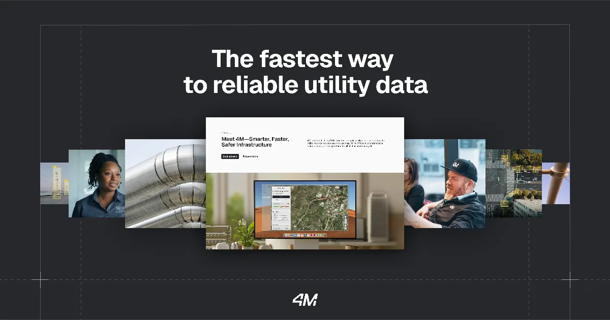
What is Subsurface Utility Mapping Solutions?
Description: extracted from the tool's own website · reviewed by admin
Frequently asked questions about Subsurface Utility Mapping Solutions
What is Subsurface Utility Mapping Solutions?
Subsurface Utility Mapping Solutions is a data & analytics tool: 4M Analytics' unique technology provides a subsurface utility map with a complete, accurate, and up-to-date….
Is Subsurface Utility Mapping Solutions free?
The pricing of Subsurface Utility Mapping Solutions could not be determined automatically; please check the provider's website.
Does Subsurface Utility Mapping Solutions have an API?
No public API for Subsurface Utility Mapping Solutions was found on its website.
Is Subsurface Utility Mapping Solutions still online?
Yes. anyai.fyi last verified 4manalytics.com on 2026-11-03, and it was online.
What are alternatives to Subsurface Utility Mapping Solutions?
Alternatives to Subsurface Utility Mapping Solutions are other Data & Analytics tools with a similar purpose. The list below is sorted by similarity in meaning.
What are alternatives to Subsurface Utility Mapping Solutions?

Aquaai Corporation - We Save the Seas

UltiHash reduces your storage costs without compromising speed.
Interactive spatial & temporal analytics for mobility, traffic, maritime and IoT data.
Get AI-powered zoning insights, analyze site CSVs, and explore feasibility faster with Runopt.

AI-powered data intelligence. Automated market research, sales prospecting, real estate analysis, and…

The AI Agent for Maps and Spatial Data. Build maps, run spatial analysis, and create location-based apps…